National Oceanography Centre, Southampton
2007 - 9
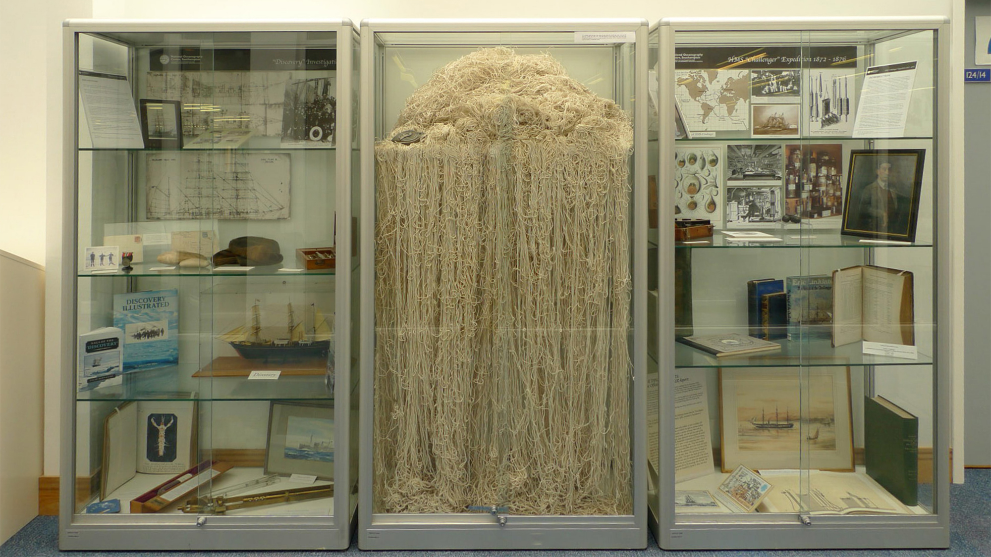
This body of work was produced while Leverhulme Artist In Residence at the National Oceanography Centre, Southampton. Over a period of three years I worked with cartographers and oceanographers to explore methods of mapping the deepest and least known parts of the Earth’s surface. My research centred on the question of what it might mean to make thsi dark and inacessible environment knowable. Over time I developed a methodology I called ‘liquid thinking’ which emphasised bodily perception, understanding it as a means to circumvent systems of knowledge production that privileged dry optics over the materiality of ocean space.
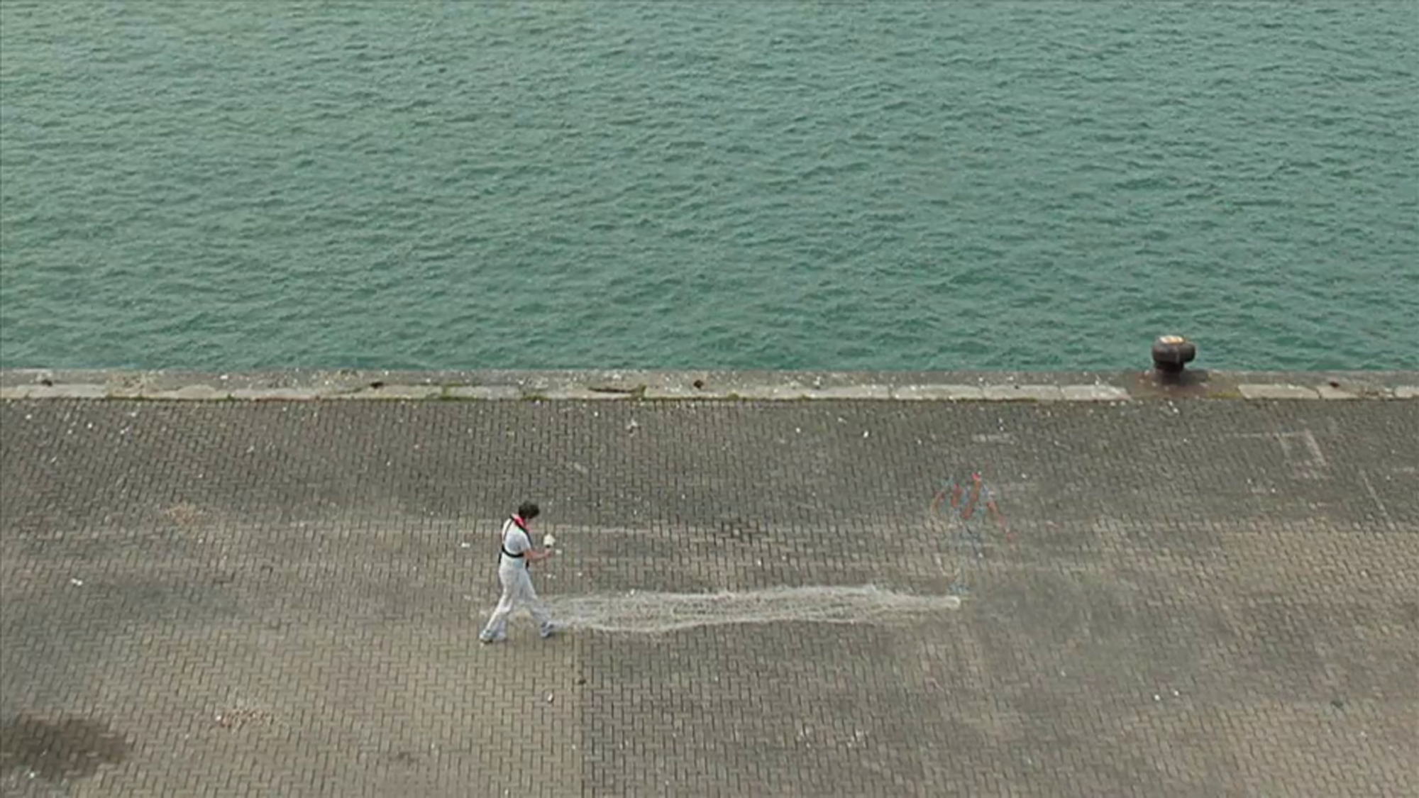
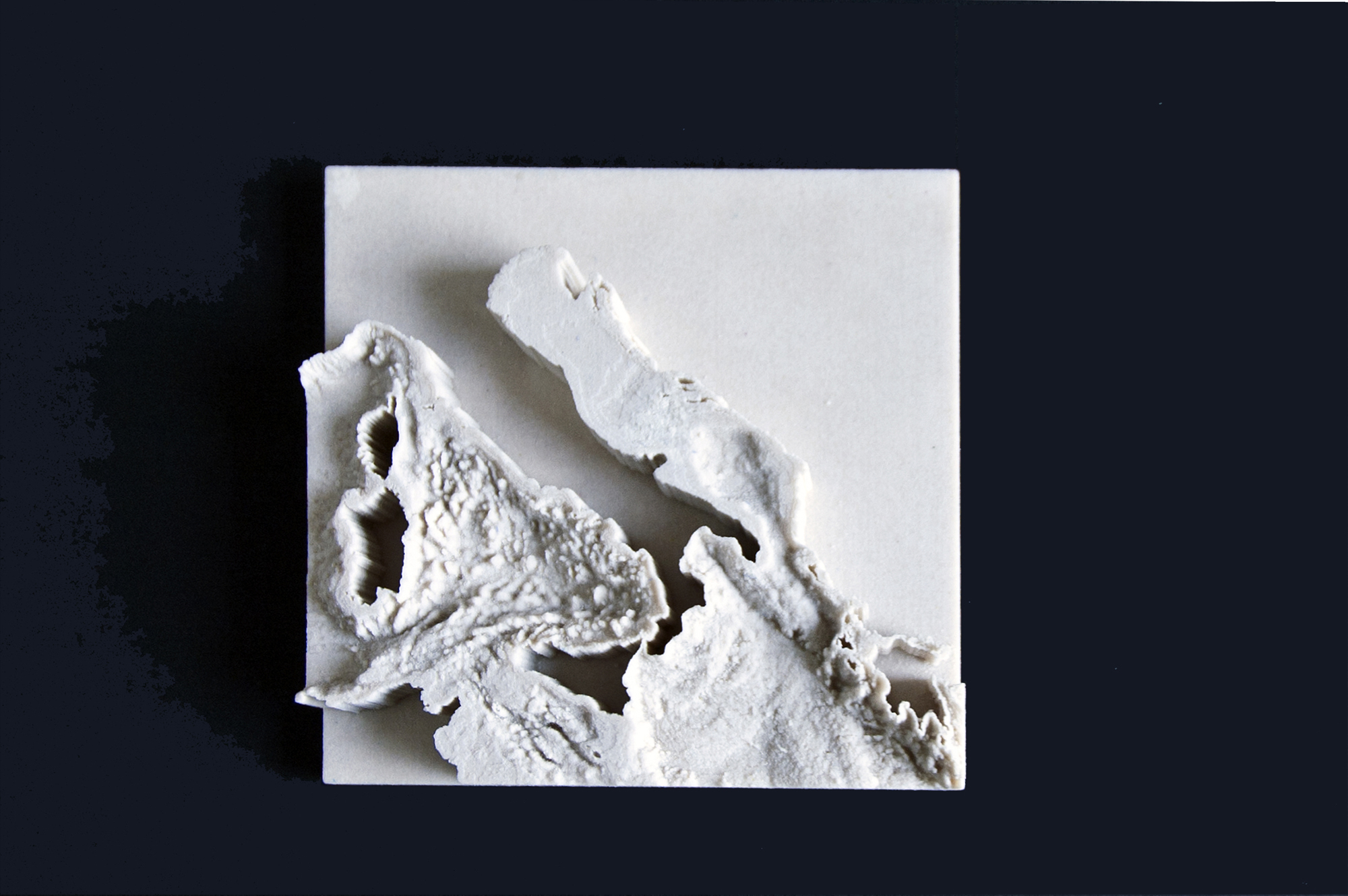
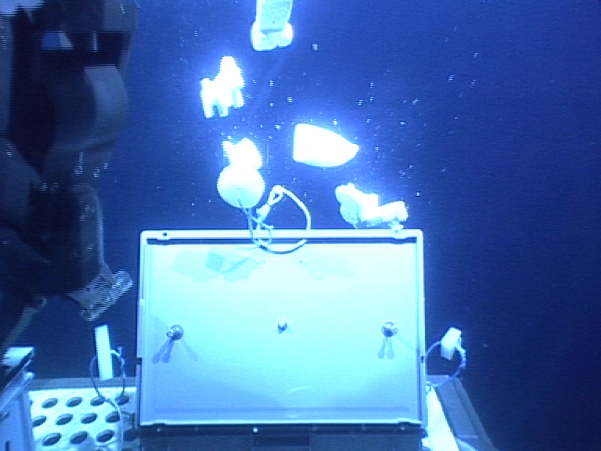
During my time at NOCS I made a number of creative interventions there – including a live action on the private dockside of the centre in which I unraveled 6 miles of string, enough to reach the bottom of the submaritime Marianas Trench, the deeepest place on earth. I also used a remotely operated underwater vehicle to release models of six silver monopoly tokens at a depth of 4,00 metres – where bathymetric pressure caused them to distort and shrink. see below
Further information about the research processes involved can be found in the Truthing Gap research post and its subequent development into a solo exhbition at the John Hansard Gallery under That Oceanic Feeling